-
Geographic Center / Cascade Playground
310 Minor Avenue N
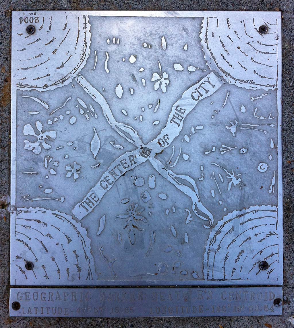
From the nearby Metro bus stop at Fairview Avenue N and Thomas Street, head east on Thomas one block to Minor Avenue. About 90 feet north of the intersection on the west side of Minor, look for a metal plaque embedded in the sidewalk. Welcome to the Seattle centroid, or the location at which a cutout of the city would balance on the head of a pin — though some quibble that recent changes to city boundaries move the centroid south 100 feet or so.
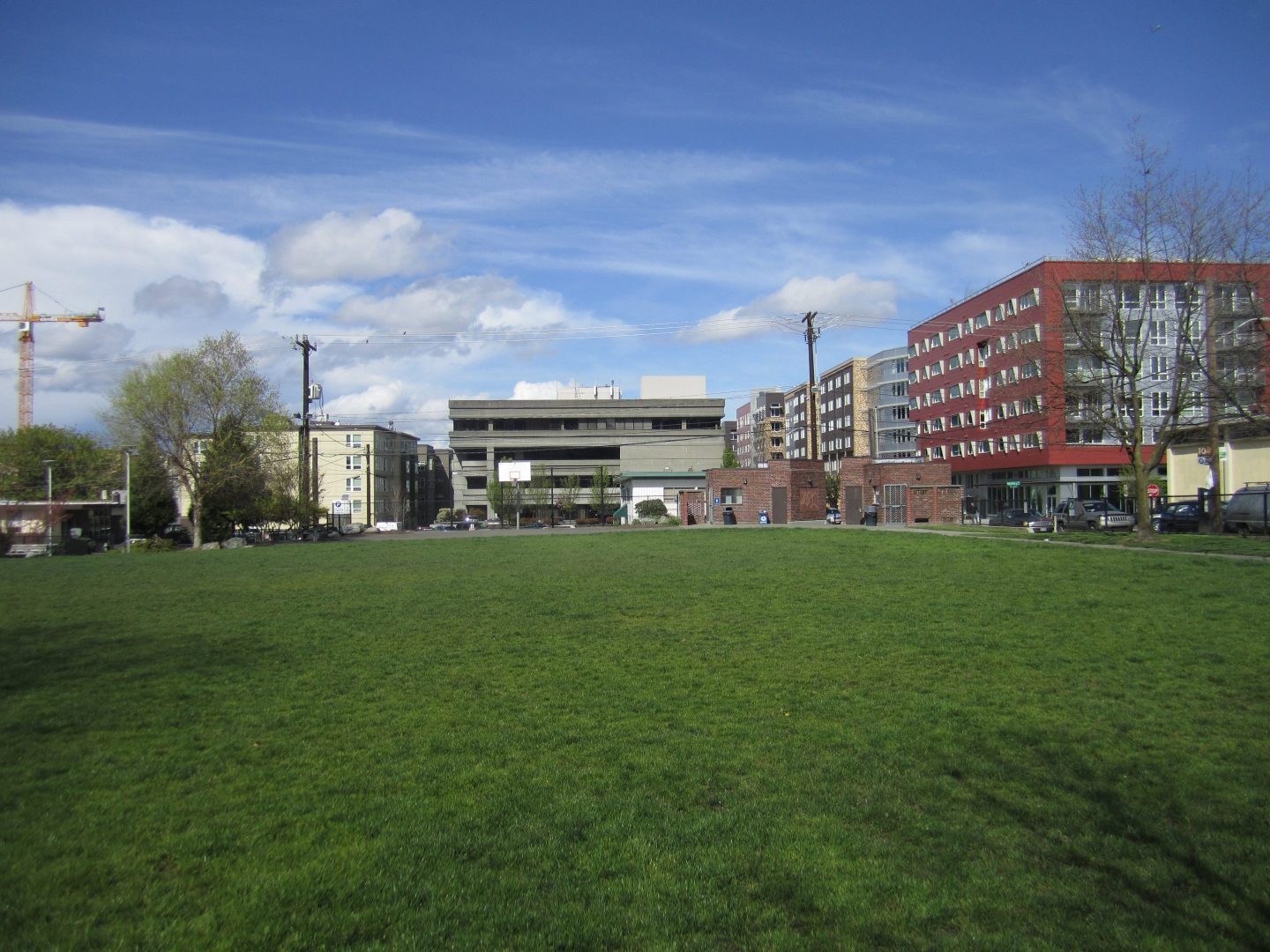
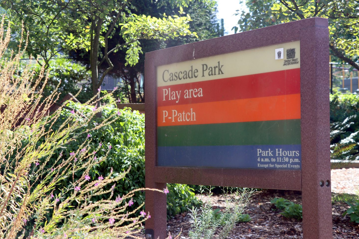
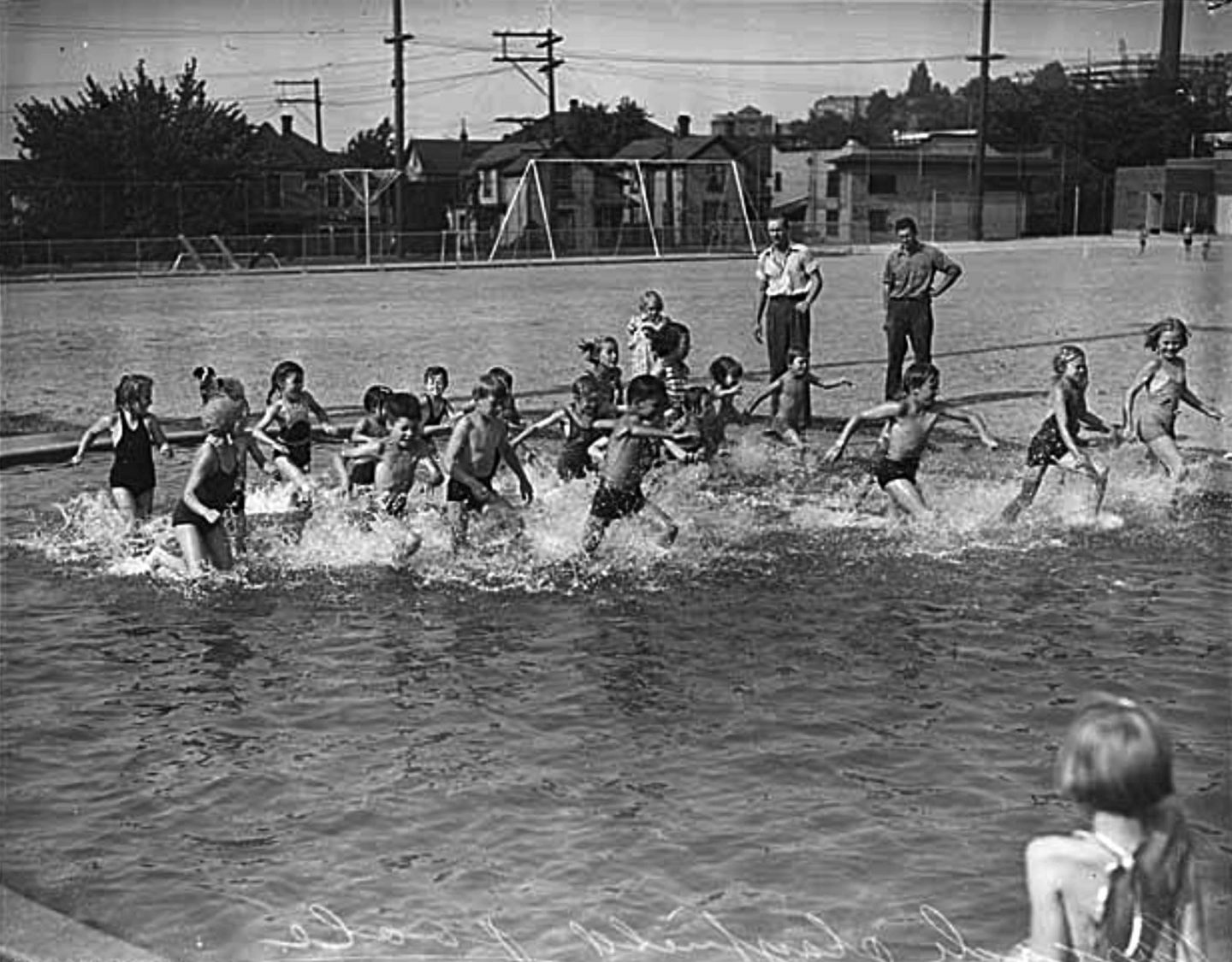
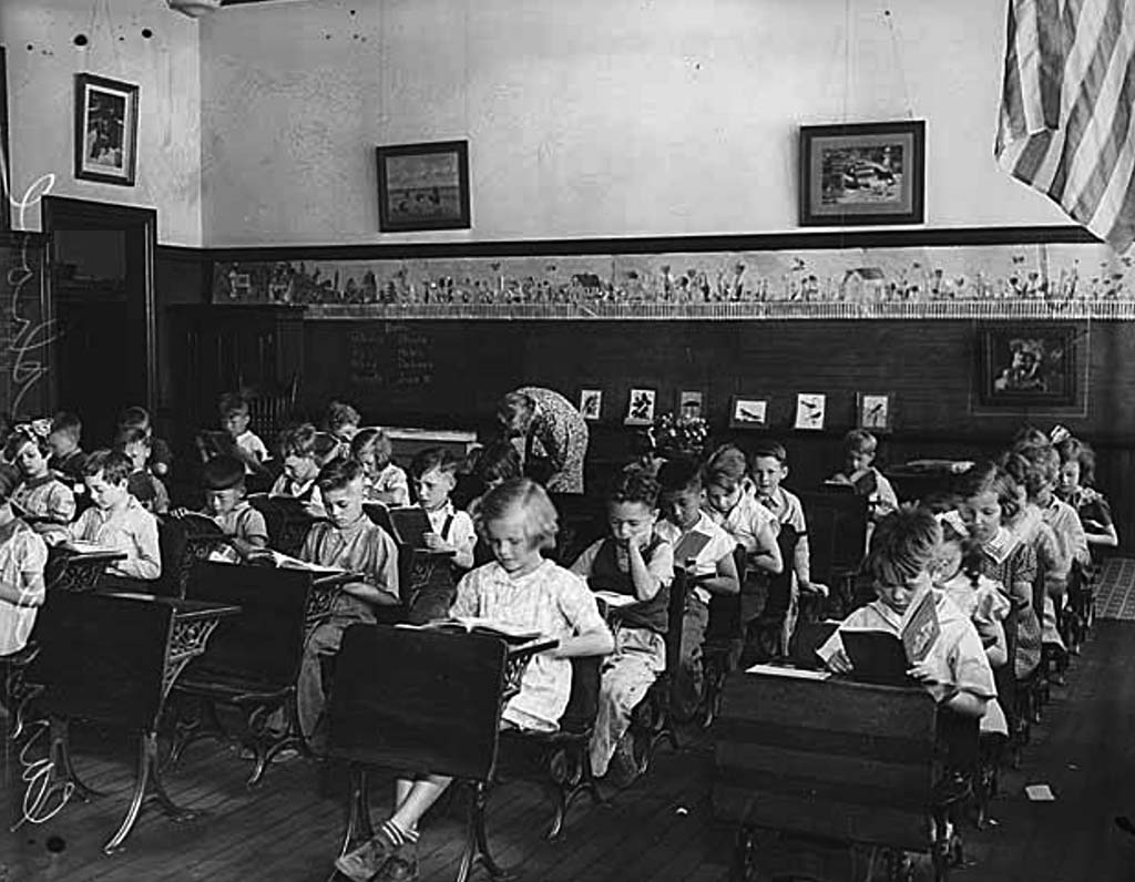
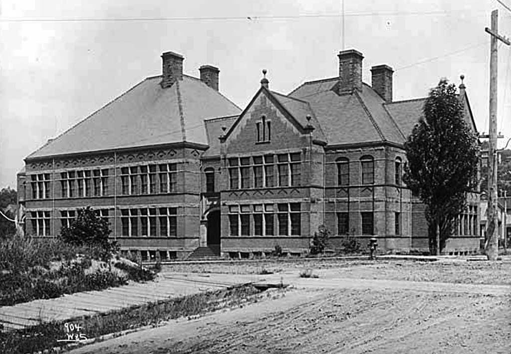
Across the street sits the Cascade P-Patch and Playground. Historically, the entire block was the playfield for Cascade School, a six-room building located between Pontius Avenue and Yale Avenue, due east of the field. Designed in 1894 by John Parkinson, an architect better known for his later work in Los Angeles, the school grew with the neighborhood and by 1904 contained 24 classrooms. The student body of about 1,000 lived in mostly modest houses in the surrounding, working-class neighborhood. But on April 13, 1949, an earthquake buckled the roof and cracked the building in two places from the roof to the basement. The students were on spring break and no one was injured, but the site was condemned, and the school was demolished in 1955.
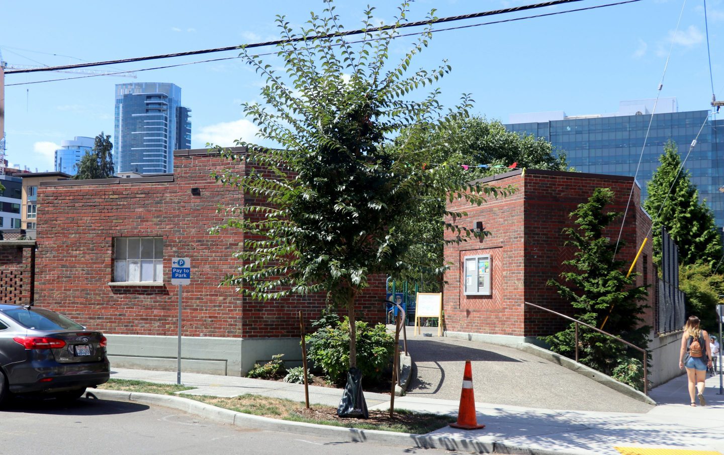
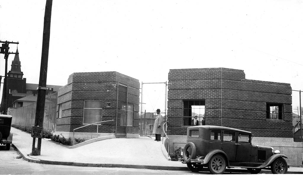
The City of Seattle purchased the site for Cascade Playground in 1926 and used Works Progress Administration labor to improve it from 1936 to 1938. To see the two remaining WPA structures, walk to the playground’s northeast corner. The identical, brick comfort stations were built in the Art Deco/Art Moderne style.