Former Location of Ballast Island
Marker on west side of Alaskan Way at S Washington Street
Tour: Pioneer Square
-
Former location of Ballast Island
Marker on west side of Alaskan Way at S Washington Street
Marker on west side of Alaskan Way at S Washington Street
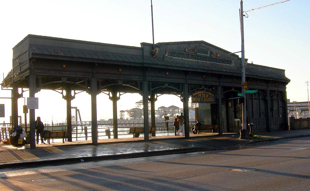
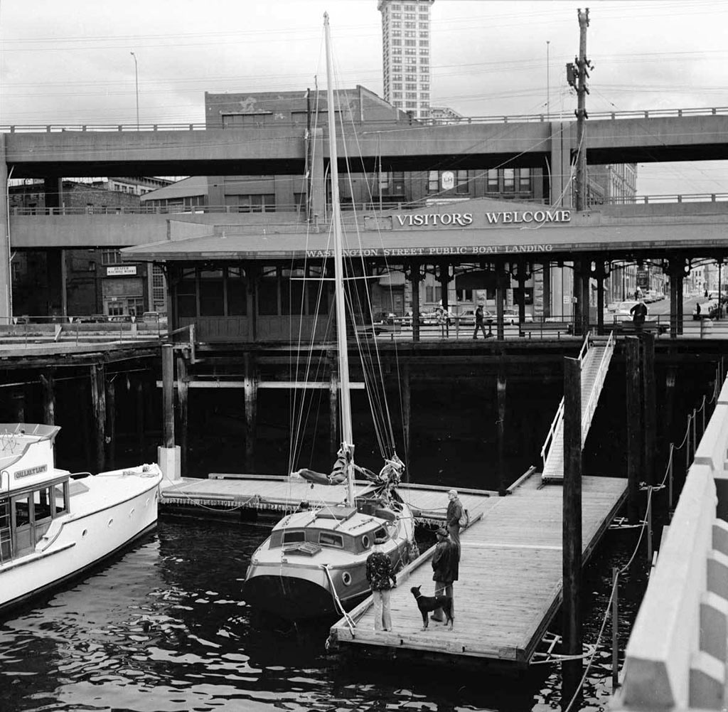
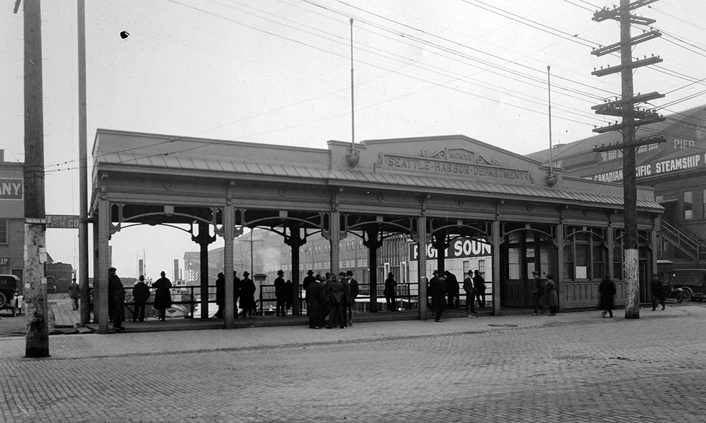
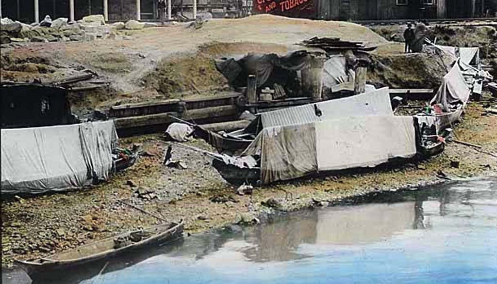
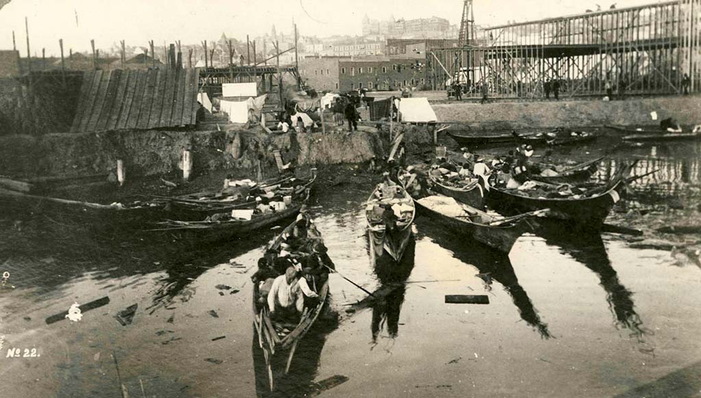
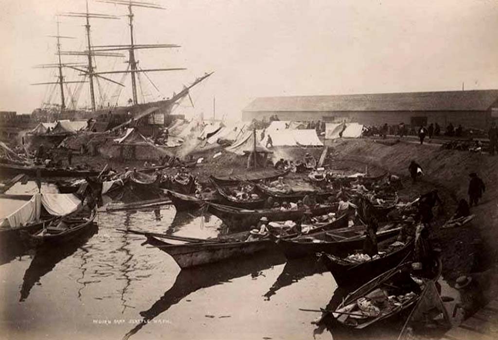
In the decades around the turn of the twentieth century, ships that arrived in Seattle often carried ballast for stability. Upon arrival they would exchange the ballast for goods they acquired. One of the main places ships dumped their ballast — often a 130 to 135 million year old sandstone quarried from Telegraph Hill in San Francisco, Seattle’s main trading partner — was at the foot of Washington Street, between the Oregon Improvement Company’s City Dock and Ocean Dock. They could accommodate four ships simultaneously, and with their contributions, Ballast Island grew rapidly. At its peak, it reached 400 feet into Elliott Bay.
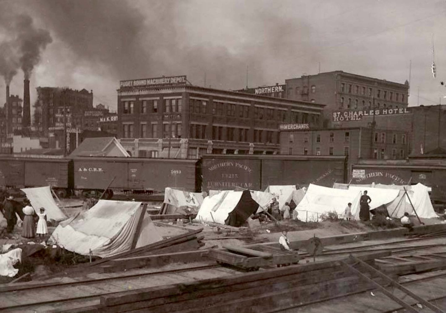
The “made land” became an important place for Native people, both local and others from far-flung tribes, who came to Seattle to work, conduct business, and socialize. It was the only place adjacent to the business district where non-Native settlers in the town allowed the Indigenous people to establish camps, primarily because Seattle’s white residents didn’t consider Ballast Island to be “real” land so it was a kind of no-man’s land.
As Railroad Avenue, running east of Ballast Island, and the piers grew in the 1890s, they covered the island, first with elevated structures and then with fill from the seawall built along the waterfront in 1916. During the construction of the State Route 99 tunnel in 2014, workers found remnants of Ballast Island, including ballast rocks that appeared to have come from Telegraph Hill.
Walk north on Alaskan Way one block to Yesler Way, turn right, and walk east to Western Avenue.
