Ice Age Topography
Tour: Market to MOHAI
-
Ice Age Topography
This corner is an arbitrary location for a look at Seattle’s topography.
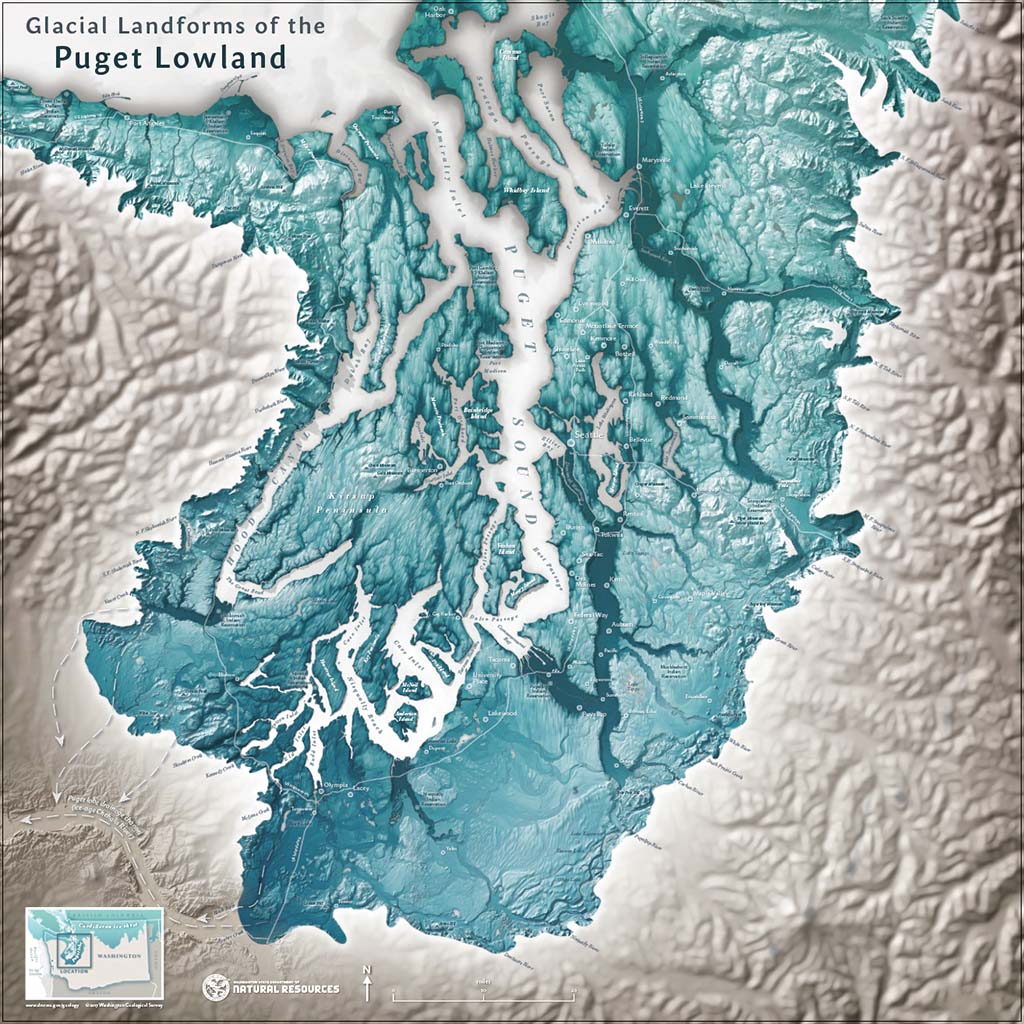
Geologically, Seattle is a relatively young city, with topography shaped during the last ice age. Around 17,600 years ago a tongue of the Cordilleran Ice Sheet known as the Puget lobe pushed south out of Canada between the Olympic and Cascade mountains. Passing through Bellingham it was 5,000 feet thick. In Seattle, it reached a maximum depth of 3,000 feet, or five Space Needles. By the time the ice made it to Olympia, its terminus, about 16,850 years ago, it was still 1,400 feet thick. The ice then began to retreat, or melt, and by about 16,400 years ago, no ice covered Seattle
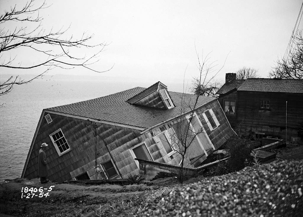
Three large scale landscape features resulted from the glacier. First is the sediment deposited: if you cut into any hill in Seattle you will see a roughly 100 foot thick layer of clay topped by a twice as deep layer of gravel and sand and a less than 30 foot thick, culminating cap of mixed sediments. The second is how the Puget lobe acted as a giant rake scraping the land into a series of parallel troughs and ridges: the city’s north-south trending hills and valleys. And, finally, great rivers running under the ice carved out the deep gouges now filled by Puget Sound, Lake Washington, and Lake Sammamish.
Turn left and walk one block north on Westlake Avenue to John Street.
