-
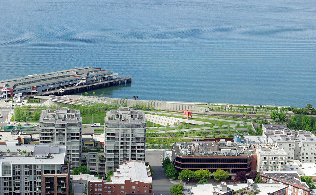
Olympic Sculpture Park
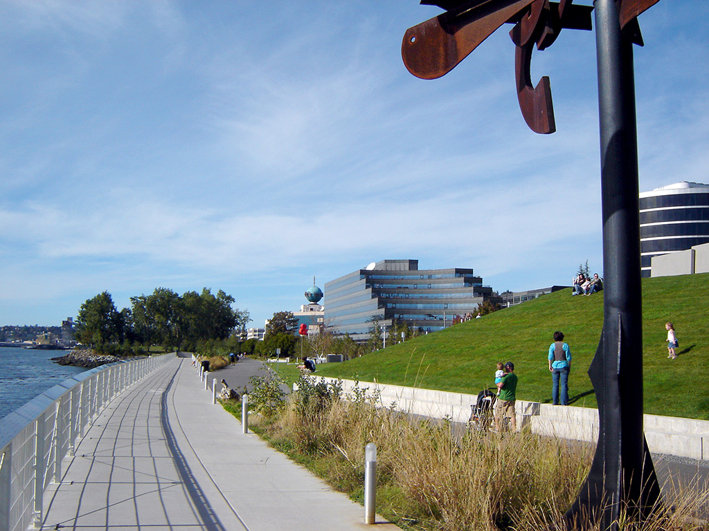
Start of Elliott Bay Trail
Olympic Sculpture Park, start of Elliott Bay Trail
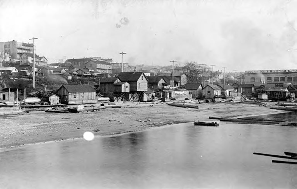
Union Oil of California, Unocal, opened a fuel depot at the northern end of the waterfront in 1910. Tanks on the uplands, extending inland to the far side of Elliott Avenue, held oil from California for oil-burning steamships serving the Alaska trade. Unocal built fuel depots at the major Alaska ports of call, too, so that ships only had to carry enough fuel for the trip to or from Seattle. This allowed them to carry more cargo, increasing their profitability.
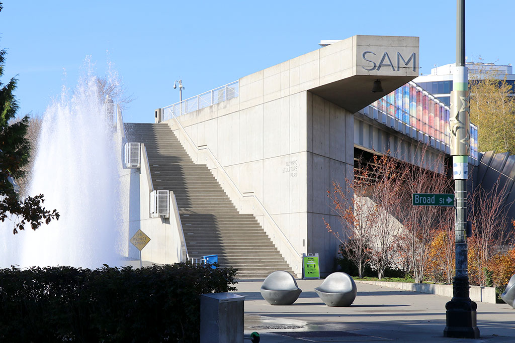
The fuel depot closed in the 1980s and left behind polluted ground. In 1999 the City of Seattle and the Seattle Art Museum purchased the land for redevelopment into an artistic greenspace and hired Weiss/Manfredi, an architecture firm from New York, to design it. To create the park, 120,000 cubic yards of soil were removed and 200,000 cubic yards of clean soil brought in to rebuild the slope that had previously been removed to create level land for the Unocal facility.
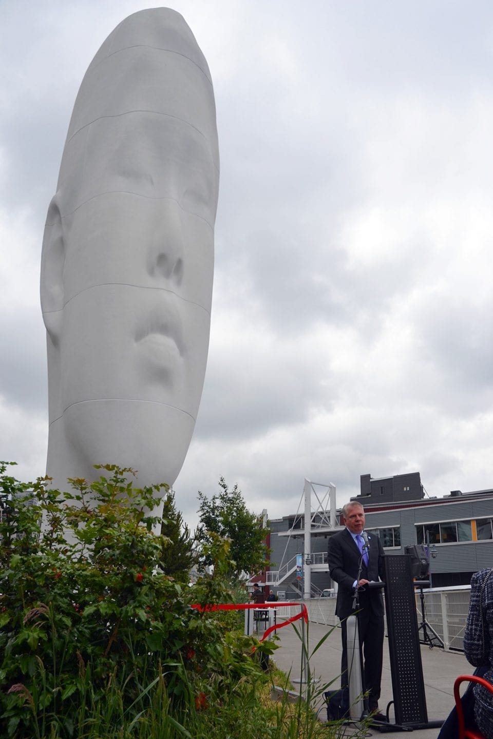
When the Olympic Sculpture Park opened in 2007, it was the first major new public open space on the central waterfront since the opening of Waterfront Park in 1974. It offered a glimpse of how the central waterfront could be re-shaped to provide recreation, access to views, and healthier ecosystems just as the future of the waterfront came under study following the 2001 Nisqually earthquake. A bridge carries visitors over the railroad tracks and a path continues up the hill to additional sculptures and a pavilion. Neukom Vivarium, designed by Mark Dion, sits at the intersection of Broad Street and Western Avenue. It features a 60-foot-long nurse log in a greenhouse. At the top of the hill, a pavilion provides space for programs and classes. At the base of the hill, where the sculpture park meets Myrtle Edwards Park, the seawall was removed and a new beach built into the shoreline.
To return to the starting point of the tour, walk through the park and up to the intersection of Broad Street and Western Avenue. Continue up the hill to 3rd Avenue and turn right. The bus stop will for routes 1, 2, 4, 13, and 14 (all of which go to 1st and Main, near King Street Station) will be on the west side of the street between Cedar and Vine streets.